Highway Logs: Glacier Park Hotel to Belton Station
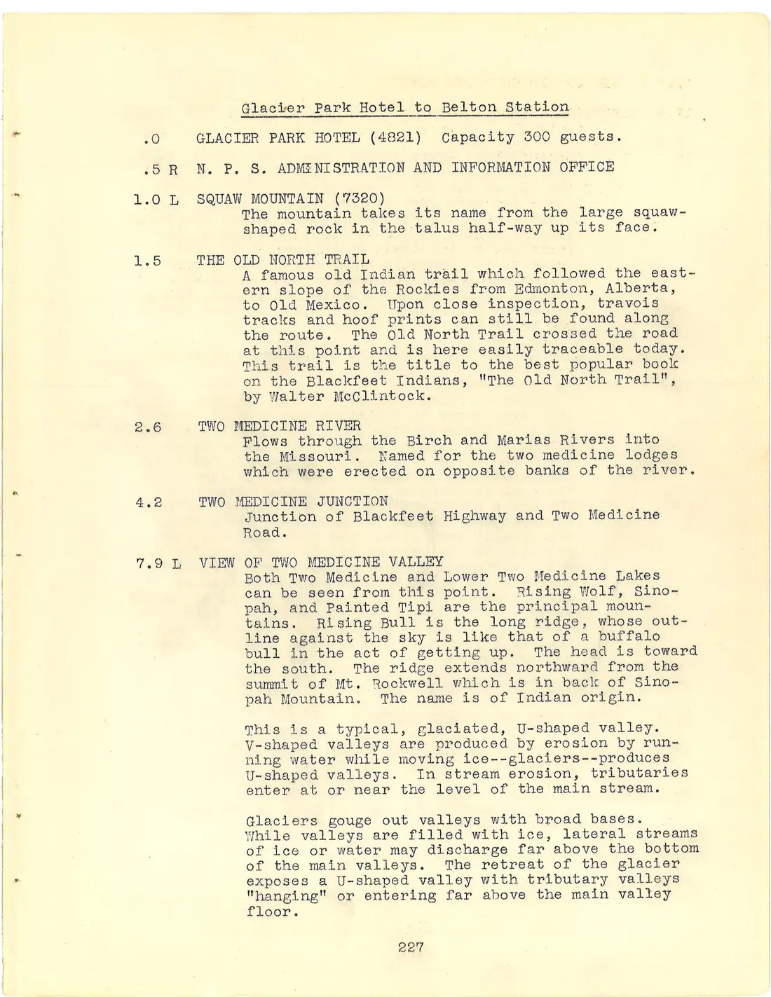
Glacier Park Hotel to Belton Station
.0 GLACIER PARK HOTEL (4821) Capacity 300 guests.
.5 R N. P. S. ADMINISTRATION AND INFORMATION OFFICE
1.0 L SQUAW MOUNTAIN (7320) The mountain takes its name from the large squaw-shaped rock in the talus half-way up its face.
1.5 THE OLD NORTH TRAIL A famous old Indian trail which followed the eastern slope of the Rockies from Edmonton, Alberta, to Old Mexico. Upon close inspection, travois tracks and hoof prints can still be found along the route. The Old North Trail crossed the road at this point and is here easily traceable today. This trail is the title to the best popular book on the Blackfeet Indians, "The Old North Trail", by Walter McClintock.
2.6 TWO MEDICINE RIVER Flows through the Birch and Marias Rivers into the Missouri. Named for the two medicine lodges which were erected on opposite banks of the river.
4.2 TWO MEDICINE JUNCTION Junction of Blackfeet Highway and Two Medicine Road.
7.9 L VIEW OF TWO MEDICINE VALLEY Both Two Medicine and Lower Two Medicine Lakes can be seen from this point. Rising Wolf, Sinopah, and Painted Tipi are the principal mountains. Rising Bull is the long ridge, whose outline against the sky is like that of a buffalo bull in the act of getting up. The head is toward the south. The ridge extends northward from the summit of Mt. Rockwell which is in back of Sinopah Mountain. The name is of Indian origin.
This is a typical, glaciated, U-shaped valley. V-shaped valleys are produced by erosion by running water while moving ice--glaciers--produces U-shaped valleys. In stream erosion, tributaries enter at or near the level of the main stream.
Glaciers gouge out valleys with broad bases. While valleys are filled with ice, lateral streams of ice or water may discharge far above the bottom of the main valleys. The retreat of the glacier exposes a U-shaped valley with tributary valleys "hanging" or entering far above the main valley floor.
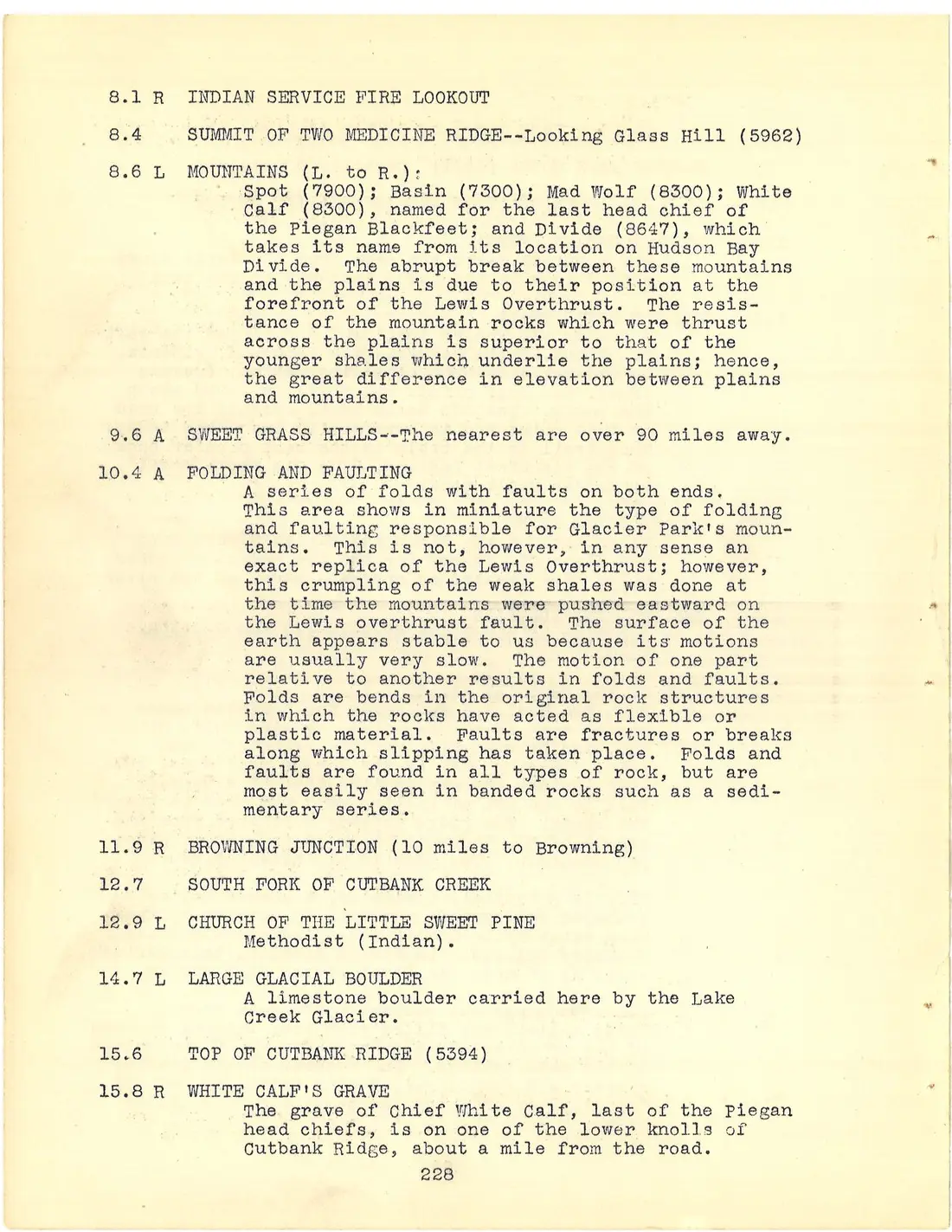
8.1 R INDIAN SERVICE FIRE LOOKOUT
8.4 SUMMIT OF TWO MEDICINE RIDGE--Looking Glass Hill (5962)
8.6 L MOUNTAINS (L. to R.): Spot (7900); Basin (7300); Mad Wolf (8300); White Calf (8300), named for the last head chief of the Piegan Blackfeet; and Divide (8647), which takes its name from its location on Hudson Bay Divide. The abrupt break between these mountains and the plains is due to their position at the forefront of the Lewis Overthrust. The resistance of the mountain rocks which were thrust across the plains is superior to that of the younger shales which underlie the plains; hence, the great difference in elevation between plains and mountains.
9.6 A SWEET GRASS HILLS--The nearest are over 90 miles away.
10.4 A FOLDING AND FAULTING A series of folds with faults on both ends. This area shows in miniature the type of folding and faulting responsible for Glacier Park's mountains. This is not, however, in any sense an exact replica of the Lewis Overthrust; however, this crumpling of the weak shales was done at the time the mountains were pushed eastward on the Lewis overthrust fault. The surface of the earth appears stable to us because its motions are usually very slow. The motion of one part relative to another results in folds and faults. Folds are bends in the original rock structures in which the rocks have acted as flexible or plastic material. Faults are fractures or breaks along which slipping has taken place. Folds and faults are found in all types of rock, but are most easily seen in banded rocks such as a sedimentary series.
11.9 R BROWNING JUNCTION (10 miles to Browning)
12.7 SOUTH FORK OF CUTBANK CREEK
12.9 L CHURCH OF THE LITTLE SWEET PINE Methodist (Indian).
14.7 L LARGE GLACIAL BOULDER A limestone boulder carried here by the Lake Creek Glacier.
15.6 TOP OF CUTBANK RIDGE (5394)
15.8 R WHITE CALF'S GRAVE The grave of Chief White Calf, last of the Piegan head chiefs, is on one of the lower knolls of Cutbank Ridge, about a mile from the road.
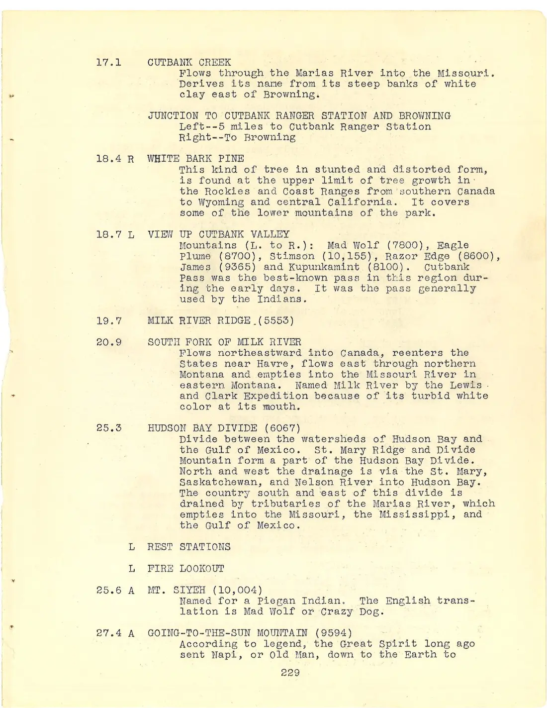
17.1 CUTBANK CREEK Flows through the Marias River into the Missouri. Derives its name from its steep banks of white clay east of Browning.
JUNCTION TO CUTBANK RANGER STATION AND BROWNING Left--5 miles to Cutbank Ranger Station Right--To Browning
18.4 R WHITE BARK PINE This kind of tree in stunted and distorted form, is found at the upper limit of tree growth in the Rockies and Coast Ranges from southern Canada to Wyoming and central California. It covers some of the lower mountains of the park.
18.7 L VIEW UP CUTBANK VALLEY Mountains (L. to R.): Mad Wolf (7800), Eagle Plume (8700), Stimson (10,155), Razor Edge (8600), James (9365) and Kupunkamint (8100). Cutbank Pass was the best-known pass in this region during the early days. It was the pass generally used by the Indians.
19.7 MILK RIVER RIDGE (5553)
20.9 SOUTH FORK OF MILK RIVER Flows northeastward into Canada, reenters the States near Havre, flows east through northern Montana and empties into the Missouri River in eastern Montana. Named Milk River by the Lewis and Clark Expedition because of its turbid white color at its mouth.
25.3 HUDSON BAY DIVIDE (6067) Divide between the watersheds of Hudson Bay and the Gulf of Mexico. St. Mary Ridge and Divide Mountain form a part of the Hudson Bay Divide. North and west the drainage is via the St. Mary, Saskatchewan, and Nelson River into Hudson Bay. The country south and east of this divide is drained by tributaries of the Marias River, which empties into the Missouri, the Mississippi, and the Gulf of Mexico.
L REST STATIONS
L FIRE LOOKOUT
25.6 A MT. SIYEH (10,004) Named for a Piegan Indian. The English translation is Mad Wolf or Crazy Dog.
27.4 A GOING-TO-THE-SUN MOUNTAIN (9594) According to legend, the Great Spirit long ago sent Napi, or Old Man, down to the Earth to redeem his people, who had fallen into bad ways. Napi guided and helped the Blackfeet and when he departed for his lodge on the Sun, he climbed this mountain. As a perpetual reminder, he left on the face of the mountain the profile of an Indian Chief in permanent snow. Logan Pass lies behind this mountain.
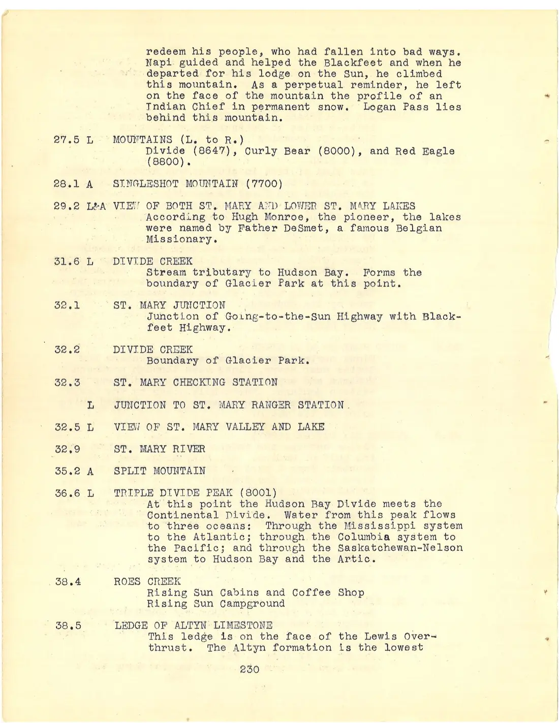
27.5 L MOUNTAINS (L. to R.) Divide (8647), Curly Bear (8000), and Red Eagle (8800).
28.1 A SINGLESHOT MOUNTAIN (7700)
29.2 L&A VIEW OF BOTH ST. MARY AND LOWER ST. MARY LAKES According to Hugh Monroe, the pioneer, the lakes were named by Father DeSmet, a famous Belgian Missionary.
31.6 L DIVIDE CREEK Stream tributary to Hudson Bay. Forms the boundary of Glacier Park at this point.
32.1 ST. MARY JUNCTION Junction of Going-to-the-Sun Highway with Blackfeet Highway.
32.2 DIVIDE CREEK Boundary of Glacier Park.
32.3 ST. MARY CHECKING STATION
L JUNCTION TO ST. MARY RANGER STATION
32.5 L VIEW OF ST. MARY VALLEY AND LAKE
32.9 ST. MARY RIVER
35.2 A SPLIT MOUNTAIN
36.6 L TRIPLE DIVIDE PEAK (8001) At this point the Hudson Bay Divide meets the Continental Divide. Water from this peak flows to three oceans: Through the Mississippi system to the Atlantic; through the Columbia system to the Pacific; and through the Saskatchewan-Nelson system to Hudson Bay and the Artic.
38.4 ROES CREEK Rising Sun Cabins and Coffee Shop Rising Sun Campground
38.5 LEDGE OF ALTYN LIMESTONE This ledge is on the face of the Lewis Overthrust. The Altyn formation is the lowest stratum of the Overthrust. Freshly fractured, it is pale bluish gray, which on weathering turns buff.
There are four principal geological formations, all one thousand to several thousand feet thick, which make up the mountains of the park. The lowermost is the Altyn, a very hard limestone of pale bluish tinge which weathers to a buff. It forms the bases of most of the mountains on the east side; Divide, Chief, and Yellow, for example. Above the Altyn is the grayish-green Appekunny formation, a clayey rock hardened by pressure into argillite. It forms the bases of Red Eagle across the lake, of Altyn, Rising Wolf, and other mountains. Above the Appekunny is the Grinnell argillite which is a dark red rock, forming the summits of such mountains as Red Eagle, Goat, Altyn, and Red. The uppermost formation, the Siyeh, is a hard, steel-blue limestone that weathers to a buff and forms the precipitous cliffs, like the Garden Wall, that are so characteristic of the Park. In it is found the diorite band, visible here on Little Chief and near the summit of Going-to-the-Sun. The Going-to-the-Sun Highway is cut into Siyeh limestone throughout its course over Logan Pass and down the Garden Wall. These formations are all of Proterozoic Age, rocks formed when life was just of very simple form. They are the oldest rocks on earth that contain recognizable fossils. The remarkable feature about those exposed in the park is that they are so slightly changed in character through the long period of time (800,000,000 years) since they were laid down. Elsewhere in the world they are greatly altered so that they retain very few of their original characteristics.
39.0 L NARROWS OF ST. MARY LAKE The narrows were formed by the resistance of the ledge of Altyn limestone at the face of the Lewis Overthrust. The Altyn formation is the lowest stratum of the overthrust.
39.5 A GOAT MOUNTAIN (8816) Named by James Willard Schults who in 1887 counted 42 goats on the mountain.
40.5 APPEKUNNY ARGILLITE (green) Road cut exposes the Appekunny formation, next to the oldest rock formation in the mountains. It lies immediately on top of the Altyn limestone.
40.8 L VIEW OF ST. MARY LAKE (4473) The lake is approximately 12 miles long and a mile wide. It is over 400 feet deep in some places. From this point there is an excellent view of four major mountains, left to right:
40.8 L RED EAGLE MOUNTAIN (8800), MAHTOTOPA MOUNTAIN (8720), LITTLE CHIEF MOUNTAIN (9542), and CITADEL MOUNTAIN (9024) Mahtotopa (Four Bears) was a Mandan Indian who was the grandfather of Joseph Kipp, who guided the first hunters and explorers in the park. Kipp named the mountain for his grandfather. Little Chief Mountain rises more than 5,000 feet above the lake level.
41.8 R LOST LAKE
42.2 L SUN JUNCTION
42.5 GOING-TO-THE-SUN POINT (4600)
42.7 A GOING-TO-THE-SUN MOUNTAIN (9594) AND SEXTON GLACIER
43.4 R SUNRIFT GORGE Seventy-five feet from the road. The gorge follows vertical cracks or joints in the rocks. There are two sets of these joints meeting at a right angle, and hence the angularity of the course of the stream.
43.4 BARING CREEK
43.7 GRINNELL ARGILLITE (red) Road cut exposes the Grinnell formation, the third stratum of the Lewis Overthrust.
44.9 A MT. REYNOLDS (9147) This peak, which is shaped much like the Matterhorn of the Alps, owes its horn-like form to glaciation. Glaciers cut into it from several directions, leaving only the needle-like peak.
45.5 L MT. JACKSON (10,023) The fourth highest peak in the Park. Named for William Jackson, a grandson of Hugh Monroe. Jackson was a scout for General Custer on the little Big Horn, and guided early visitors into this area. Among these was Walter McClintock, author of "The Old North Trail".
A GUNSIGHT PASS (6900) AND GUNSIGHT MOUNTAIN (9250) The trail from Going-to-the-Sun to Sperry Chalets goes over this pass.
46.1 R SNOW SLIDE PATH (1938)
46.3 PIEGAN PASS TRAIL UNDERPASS The trail system from Going-to-the-Sun Chalets over Piegan Pass to Many Glacier, and over Logan Pass to Granite Park pass through this subway under the road. They ascend through the trees abruptly up the right bank.
L JACKSON GLACIER
L MT. REYNOLDS FIRE LOOKOUT
47.2 A PIEGAN MOUNTAIN (9230) Named for the Piegan tribe of Blackfeet. The Blackfeet are divided into three tribes. The northern-most are called Siksikas or Blackfeet Proper. They dwell on a Reservation east of Calgary with headquarters at Gleichen, Alberta. The southern-most, the former buffer against attacks from Crows, Shoshones, Crees, Assiniboines, and Plateau tribes, are the Piegans, who live east of the park. Between are the Kainah or Bloods, who live on a Reservation between Cardston and the Belly River to the north. A small group of Piegans preferred to live in Canada, and reside on a reservation east of Crow's Nest Pass.
47.8 A MT. SIYEH (10,004) The trail to Piegan Pass can be seen on the slope of this mountain.
48.3 SIYEH CREEK
48.4 A VIEW OF BLACKFEET MOUNTAIN (9597) AND GLACIER
48.8 L HEAVY RUNNER MOUNTAIN (8000) Heavy Runner was Chief of the band of Blackfeet who were massacred by General Baker on the Marias River in 1870.
49.6 SIYEH LIMESTONE (gray weathers buff) Road cut exposes Siyeh limestone, the fourth major formation of the overthrust block.
49.9 TUNNEL
50.2 A MT. POLLOCK (9211)
50.3 R PIEGAN CIRQUE
50.7 L HANGING GARDENS Name of alpine meadows between the mountain peaks at Logan Pass.
51.2 LOGAN PASS (6654) Situated on the Continental Divide. The surrounding mountains are Mt. Reynolds (9147), Mt. Clements (8764), and Mt. Pollock (9211). Clements Glacier, a typical small glacier, is located only a mile by trail from the parking area. The water from this glacier flows into two oceans.
The pass was named for Major W. R. Logan, first superintendent of the Park. The Going-to-the-Sun Highway was constructed at a cost of $3,000,000 and was 12 years under construction. It was first opened for through travel on July 13, 1933.
MATHER PLAQUE Dedicated to the founder and first director of the National Park Service, Stephen T. Mather.
51.5 R VIEW OF GARDEN WALL AND LOGAN VALLEY The name Garden Wall was taken from the song "Over the Garden Wall". The road may be seen for a considerable distance ahead along the side of the wall. The opposite side of the Garden Wall is seen from Many Glacier. It is eight miles from the pass to the switchback visible to the northwest.
51.7 R GLACIER LILY MEADOW In the spring this meadow is carpeted with Glacier Lilies.
52.1 L OBERLIN MOUNTAIN (8100)
52.3 A GOULD MOUNTAIN (9541)
54.2 R WEEPING WALL Named after the manner in which the water drips over the wall early in the season.
54.3 A MT. CANNON (8800) Between Mt. Cannon and Mt. Oberlin there is an excellent example of a hanging valley. The water from the glacier in the valley drains over Bird Woman Falls.
55.4 L VIEW OF McDONALD VALLEY AND HEAVENS PEAK (8994) The road may be seen in the valley, 2,500 feet below.
56.3 L ROAD CAMP
57.0 R GRANITE PARK TRAIL Four miles to Granite Park Chalets.
58.4 CRYSTAL POINT Named from the iron pyrite crystals embedded in the red quartzite member of the rock wall on the right.
58.8 R GLACIATED LEDGES The rock strata at this point were rounded and polished by the McDonald Creek Glacier.
59.1 THE LOOP
59.3 A FOREST BURNED IN 1936 This fire swept over the Garden Wall and burned down Swiftcurrent Valley below Many Glacier Hotel.
59.7 TUNNEL
60.0 L ALGAL REEF This rock was laid down during the "dawn of life" period. The formation here is a concentration of single-celled plants associated together in colonies. The oldest Paleozoic rocks show remains of life developed from the simplest single-celled forms. Much of this development must have taken place during the time that the earlier Proterozoic rocks were being formed. Yet the evidences of life in the Proterozoic rocks are scanty. In the Proterozoic rocks of Glacier National Park are structures believed to be the tracks of primitive worms and globular limey masses (Cryptozoa) probably built up by one-celled plants called algae.
61.6 R WHITE PINE
61.8 LOGAN CREEK
61.9 R McDONALD CREEK Flows through Lake McDonald, Flathead River and Lake, and the Clark Fork and Columbia Rivers into the Pacific.
62.8 L VIEW OF MT. CANNON (8800) From this point Mt. Cannon rises more than 5,000 feet above the valley floor.
64.8 R GOAT USUALLY SEEN IN DRY WASH ON GLACIER WALL
66.7 A SPERRY GLACIER AND GUNSIGHT MOUNTAIN (9250)
67.0 AVALANCHE CREEK
67.1 L AVALANCHE CREEK CAMP GROUNDS Maintained by National Park Service.
69.6 L MT. BROWN (8541)
70.5 R LOGAN FALLS
70.7 TRAIL UNDERPASS
70.9 R&A McDONALD FALLS AND LAKE View of Lake McDonald (3144) ahead, and of Mt. Stanton (7744) across McDonald Creek. Lake McDonald is the largest lake in the Park. It is approximately 10 miles long and 1-1/2 miles wide.
71.2 R JUNCTION TO HEAD OF LAKE McDONALD
72.4 L START OF SELF-GUIDING TRAIL
72.8 LAKE McDONALD HOTEL (3167) Capacity 125 guests.
72.9 SNYDER CREEK
73.8 R SPRAGUE CREEK CAMP GROUNDS
80.1 FOREST BURNED IN 1929 A few scattered trees which survived the fire are larch and cottonwood. The new growth is mostly lodgepole pine.
81.3 R JUNCTION TO APGAR
82.5 R JUNCTION TO APGAR AND THE NORTH FORK REGION
83.1 L SERVICE ROAD TO PARK HEADQUARTERS Office of the Superintendent.
83.5 MIDDLE FORK OF THE FLATHEAD Flows through Flathead Lake and the Clark Fork and Columbia Rivers into the Pacific.
83.7 RAILROAD UNDERPASS
83.9 BELTON RAILROAD STATION (Great Northern) (3200)