Highway Logs: Many Glacier Hotel to Prince of Wales Hotel
Many Glacier Hotel to Prince of Wales Hotel
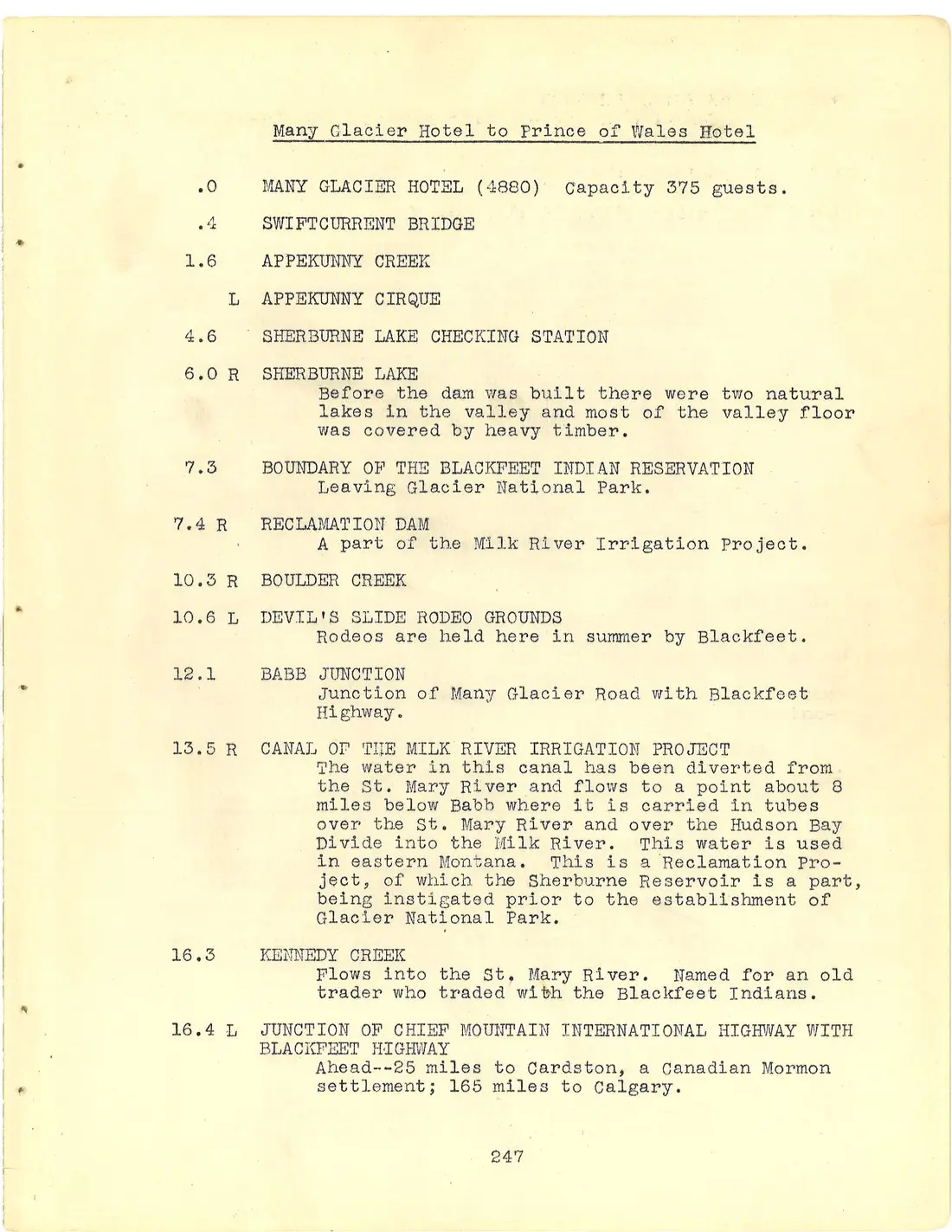
.0 MANY GLACIER HOTEL (4880) Capacity 375 guests.
.4 SWIFTCURRENT BRIDGE
1.6 APPEKUNNY CREEK
L APPEKUNNY CIRQUE
4.6 SHERBURNE LAKE CHECKING STATION
6.0 R SHERBURNE LAKE Before the dam was built there were two natural lakes in the valley and most of the valley floor was covered by heavy timber.
7.3 BOUNDARY OF THE BLACKFEET INDIAN RESERVATION Leaving Glacier National Park.
7.4 R RECLAMATION DAM A part of the Milk River Irrigation Project.
10.3 R BOULDER CREEK
10.6 L DEVIL'S SLIDE RODEO GROUNDS Rodeos are held here in summer by Blackfeet.
12.1 BABB JUNCTION Junction of Many Glacier Road with Blackfeet Highway.
13.5 R CANAL OF THE MILK RIVER IRRIGATION PROJECT The water in this canal has been diverted from the St. Mary River and flows to a point about 8 miles below Babb where it is carried in tubes over the St. Mary River and over the Hudson Bay Divide into the Milk River. This water is used in eastern Montana. This is a Reclamation Project, of which the Sherburne Reservoir is a part, being instigated prior to the establishment of Glacier National Park.
16.3 KENNEDY CREEK Flows into the St. Mary River. Named for an old trader who traded with the Blackfeet Indians.
16.4 L JUNCTION OF CHIEF MOUNTAIN INTERNATIONAL HIGHWAY WITH BLACKFEET HIGHWAY Ahead--25 miles to Cardston, a Canadian Mormon settlement; 165 miles to Calgary.
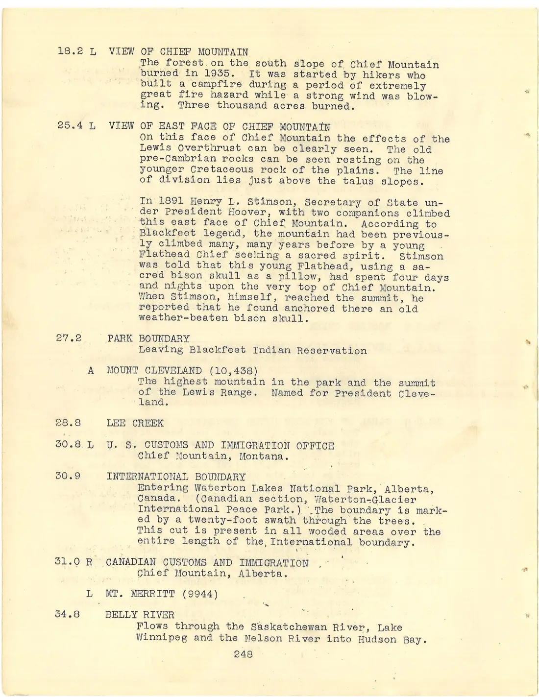
18.2 L VIEW OF CHIEF MOUNTAIN The forest on the south slope of Chief Mountain burned in 1935. It was started by hikers who built a campfire during a period of extremely great fire hazard while a strong wind was blowing. Three thousand acres burned.
25.4 L VIEW OF EAST FACE OF CHIEF MOUNTAIN On this face of Chief Mountain the effects of the Lewis Overthrust can be clearly seen. The old pre-Cambrian rocks can be seen resting on the younger Cretaceous rock of the plains. The line of division lies just above the talus slopes. In 1891 Henry L. Stimson, Secretary of State under President Hoover, with two companions climbed this east face of Chief Mountain. According to Blackfeet legend, the mountain had been previously climbed many, many years before by a young Flathead Chief seeking a sacred spirit. Stimson was told that this young Flathead, using a sacred bison skull as a pillow, had spent four days and nights upon the very top of Chief Mountain. When Stimson, himself, reached the summit, he reported that he found anchored there an old weather-beaten bison skull.
27.2 PARK BOUNDARY Leaving Blackfeet Indian Reservation
A MOUNT CLEVELAND (10,438) The highest mountain in the park and the summit of the Lewis Range. Named for President Cleveland.
28.8 LEE CREEK
30.8 L U. S. CUSTOMS AND IMMIGRATION OFFICE Chief Mountain, Montana.
30.9 INTERNATIONAL BOUNDARY Entering Waterton Lakes National Park, Alberta, Canada. (Canadian section, Waterton-Glacier International Peace Park.) The boundary is marked by a twenty-foot swath through the trees. This cut is present in all wooded areas over the entire length of the International boundary.
31.0 R CANADIAN CUSTOMS AND IMMIGRATION Chief Mountain, Alberta.
L MT. MERRITT (9944)
34.8 BELLY RIVER Flows through the Saskatchewan River, Lake Winnipeg and the Nelson River into Hudson Bay.
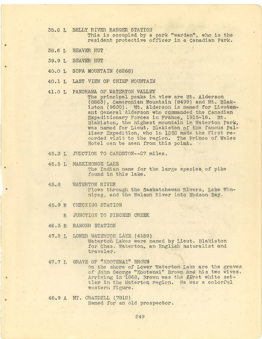
35.8 L BELLY RIVER RANGER STATION This is occupied by a park "warden", who is the resident protective officer in a Canadian Park.
38.6 L BEAVER HUT
39.9 L BEAVER HUT
40.0 L SOFA MOUNTAIN (8268)
40.1 L LAST VIEW OF CHIEF MOUNTAIN
41.0 L PANORAMA OF WATERTON VALLEY The principal peaks in view are Mt. Alderson (8883), Cameronian Mountain (8499) and Mt. Blakiston (9600). Mt. Alderson is named for Lieutenant General Alderson who commanded the Canadian Expeditionary Forces in France, 1915-16. Mt. Blakiston, the highest mountain in Waterton Park, was named for Lieut. Blakiston of the famous Palliser Expedition, who in 1858 made the first recorded visit to the region. The Prince of Wales Hotel can be seen from this point.
45.3 L JUNCTION TO CARDSTON--27 miles.
45.5 L MASKINONGE LAKE The Indian name for the large species of pike found in this lake.
45.8 WATERTON RIVER Flows through the Saskatchewan Rivers, Lake Winnipeg, and the Nelson River into Hudson Bay.
45.9 R CHECKING STATION
R JUNCTION TO PINCHER CREEK
46.3 R RANGER STATION
47.2 L LOWER WATERTON LAKE (4189) Waterton Lakes were named by Lieut. Blakiston for Chas. Waterton, an English naturalist and traveler.
47.7 L GRAVE OF "KOOTENAI" BROWN On the shore of Lower Waterton Lake are the graves of John George "Kootenai" Brown and his two wives. Arriving in 1868, Brown was the first white settler in the Waterton region. He was a colorful western figure.
48.9 A MT. CRANDELL (7812) Named for an old prospector.
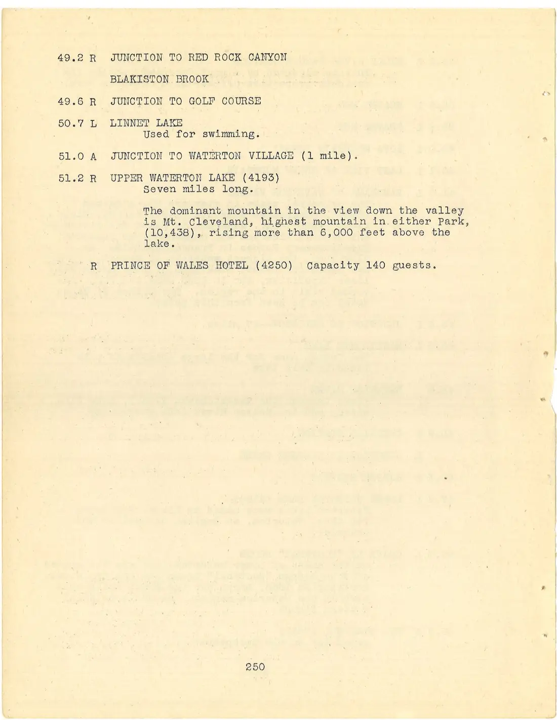
49.2 R JUNCTION TO RED ROCK CANYON
BLAKISTON BROOK
49.6 R JUNCTION TO GOLF COURSE
50.7 L LINNET LAKE Used for swimming.
51.0 A JUNCTION TO WATERTON VILLAGE (1 mile).
51.2 R UPPER WATERTON LAKE (4193) Seven miles long. The dominant mountain in the view down the valley is Mt. Cleveland, highest mountain in either Park, (10,438), rising more than 6,000 feet above the lake.
R PRINCE OF WALES HOTEL (4250) Capacity 140 guests.